Emergency Response
Wildfire hotspot mapping.
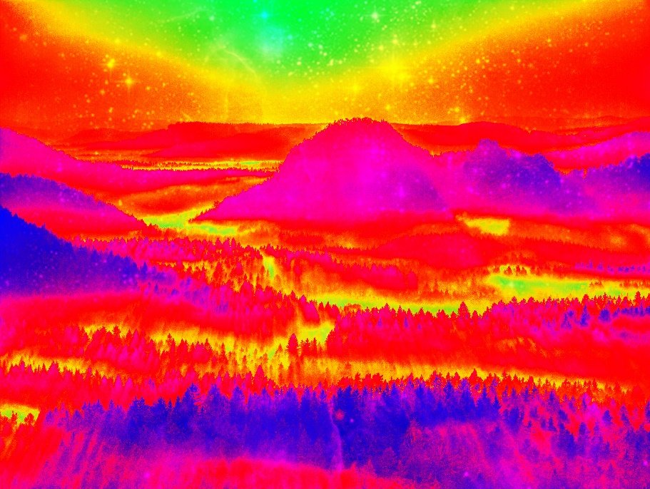
PerryAir’s pilots boast a 100% success rate of completing wildfire hotspot mapping missions. With thermal imagery we can pinpoint areas with buried hotspots. With the maps and coordinates we produce we can help ensure your crew finds all hotspots, ensuring the chance for re-ignition is kept to a minimum. PerryAir offers its wildfire hotspot mapping services internationally.
Emergency management planning.
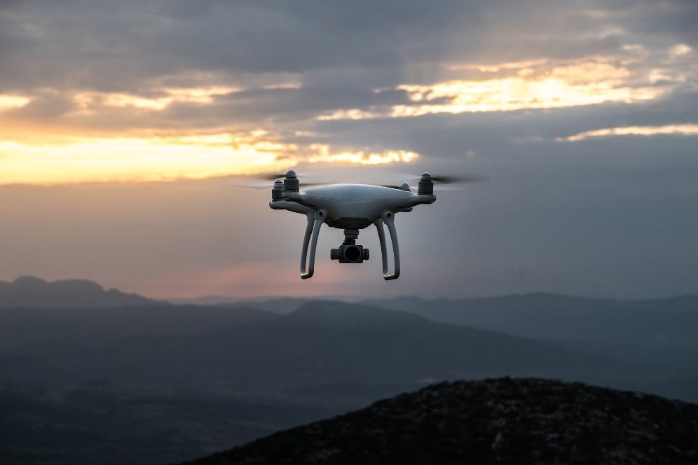
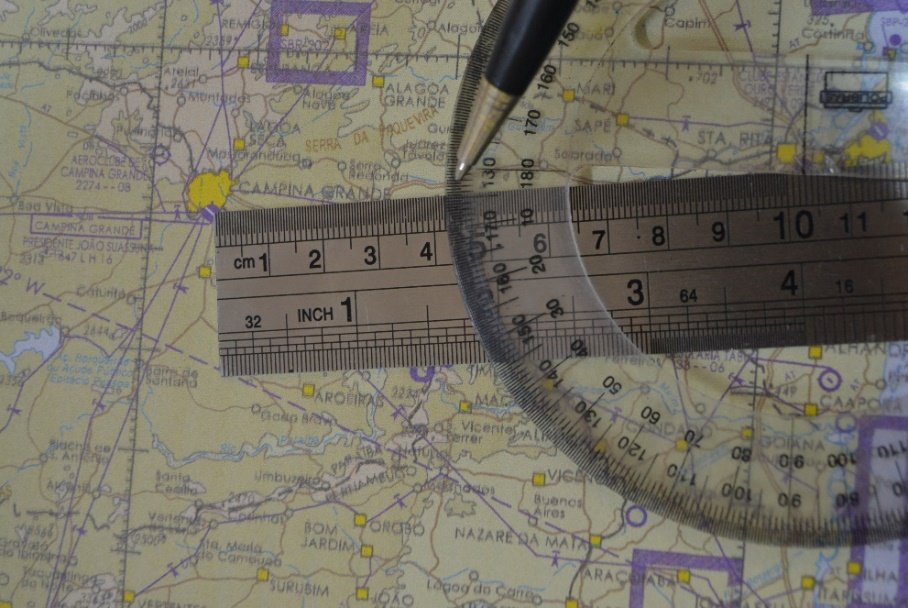
Drones can be implemented into any municipalities’ emergency procedures for a wide variety of reasons. Drones can be used to aerially assess problems and streamline the dispersion of limited emergency response resources. PerryAir can assist in the training of potential emergency response pilots and help you plan and implement an effective, safe drone program for use in a crisis.
Search and rescue consulting and training.
Would you like to implement drones into your search and rescue operations? Do you have questions regarding the viability of this or which drones would be best for you? Please reach out to us and we can offer our advice. PerryAir offers most of its S&R consultation and educational services for free. We also offer onsite training courses for a fee.